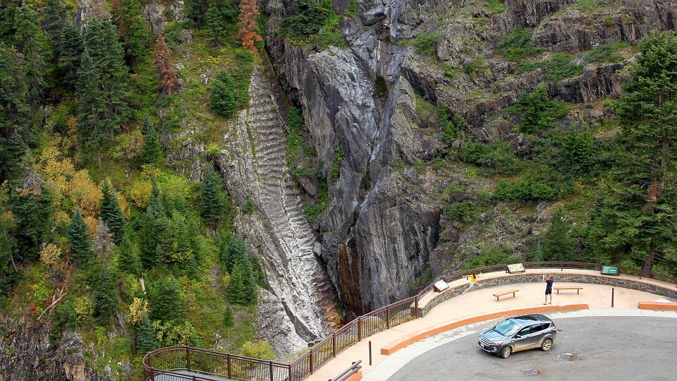


This overlook is on your right on Highway 550 a few miles above Ouray.
The falls themselves are around and behind to the left. Notable from
this angle are the frozen ripples in the washboard bedrock on Ralston
Creek in the background, on the other side of the Uncompahgre River
gorge. Presumably these were formed by erosion from rapidly moving
water.
GPS location: 38° 00'N, 107° 39.6'W; 8600 feet altitude.
A minute or two before taking this photo, the girl had jumped out of the car and run over to the railing, jumping up on the bench and leaning far out over the railing to look down -- before her father could rush over and grab her around her lower legs to keep her from going totally over the side. The situation was (luckily) never dire or precarious, but for a second I thought at least I'd document what not to do, and get a newsworthy photo of the disaster if it happened.
The native resolution of the original digital file is high (6.4 MP). This 500+ KP version for electronic display represents a reduction in area of 13x.
All copyrights reserved. © 2018 C. Wetherill.

