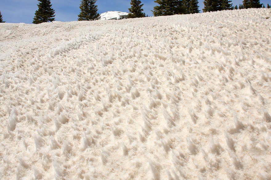


This unusual patterning in the meltdown of the snowpack occurred
in early May of 2013, as a result of a layer of wind deposited dust
coming up from the deserts of the Four Corners area to the SW late
in the Spring. As it turned out, scientists from the snow and
avalanche research center in Silverton had been up in the same
area the very day before and taken a picture of the same phenomenon,
which is not completely understood.
GPS location: 37° 53¾'N, 107° 43.2'W; 11,400 feet altitude.
The native resolution of the original digital file is high (9.6 MP). This 500+ KP version for electronic display represents a reduction in area of 19½x.
All copyrights reserved. © 2018 C. Wetherill.

