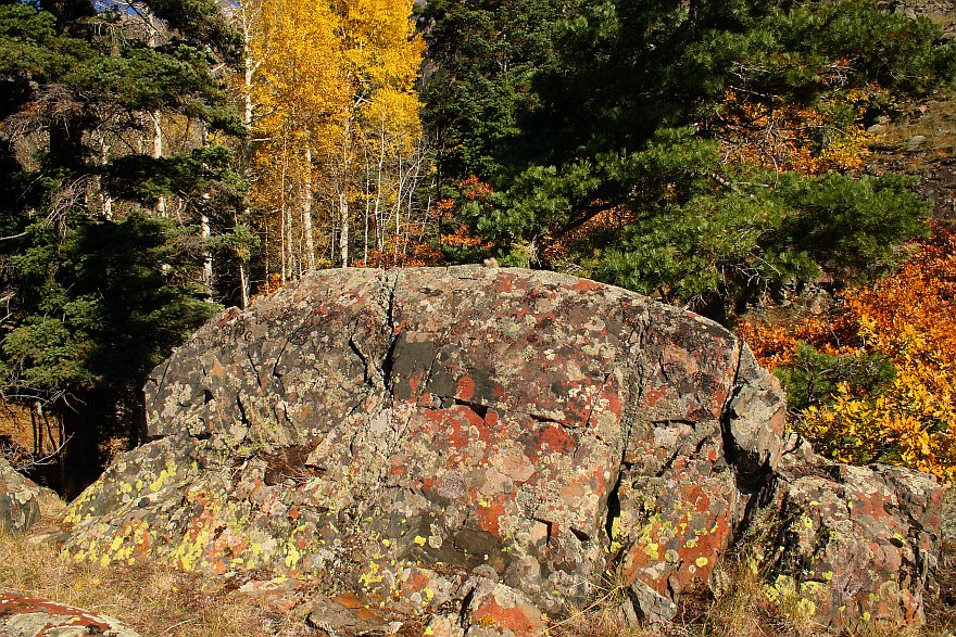


This was taken in mid-October above and off of the Amphitheater
Trail above Ouray, looping back overland S across a small field to
the crest ~200 feet above the highway.
GPS location: 38° 01'N, 107° 40.1'W; 8350 feet altitude.
(guesstimated)
The native resolution of the original digital file is high (7.8 MP). This 500+ KP version for electronic display represents a reduction in area of ~16x.
All copyrights reserved. © 2018 C. Wetherill.

