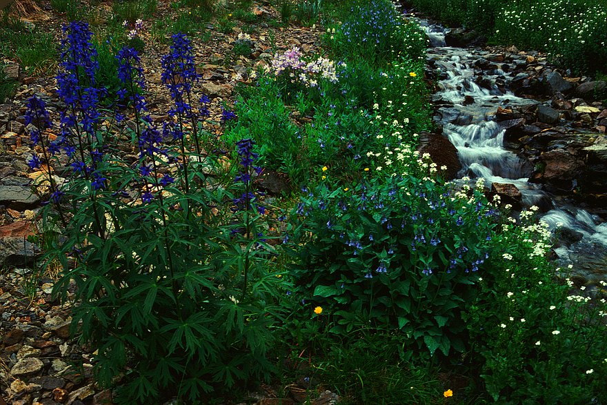


I once backpacked from approximately San Luis Pass all the way along
the Divide (more or less) past Snow Mesa and Spring Creek Pass to the
upper reaches of Lost Trail Creek. I took this photo somewhere along
the early part of this trip, maybe on Rat Creek, Miners Creek, or one
of their unnamed little tributaries. Maybe if I dug out the other slides
taken at about the same time and went over my route with topo maps
also in hand I could narrow it down some.
GPS location: uncertain.
The native resolution of the original digital file is high (~7 MP). This 500+ KP version for electronic display represents a reduction in area of ~14x.
All copyrights reserved. © 2018 C. Wetherill.

